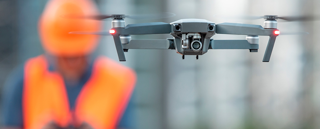
Several phases of our environmental projects and inspection mandates are now carried out using drones (UAV – Unmanned Aerial Vehicle). This economical, safe and highly efficient tool allows our teams to carry out accurate surveys, pre-feasibility studies and structural and building inspections.
Limiting unnecessary back and forth movements, while eliminating the need for physical access to dangerous or hard-to-reach locations, the UAV greatly optimize any effort in the field. It offers the possibility of carrying out quick surveys at a lower cost and does not require the installation of an aerial bucket or scaffolding.
This short video presents the images captured by a UAV as part of an inventory request to search for fish habitat compensation sites. The use of a drone for such purpose allowed to limit unnecessary trips in the forest, to optimize the work effort allocated for each site and to ensure a safe work environment for professionals. Furthermore, the images and videos collected by the drone will serve as visual support for analysts from the various Ministries, allowing them to draw factual conclusions.

